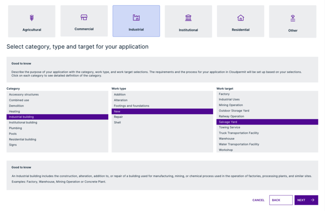
Land Use Permits
Accept and issue a land use permit before accepting a building permit application.
- Require land use permits before building permits can be issued
- Accept complete land use permit applications as citizens must complete all fields before their application can be submitted
- Send automatic updates when the status of a permit changes
- Create automatic links between related land use and building permits to track projects and statuses
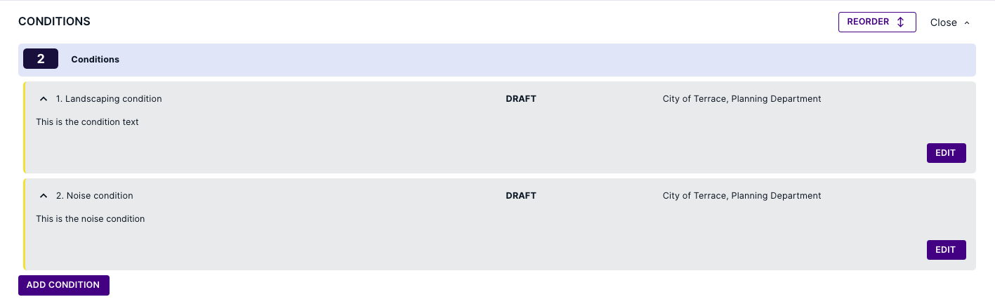
Conditions
Keep track of all conditions.
- Assign conditions to permits and clear them prior to closing the files
- Allow collaboration between building, planning, and zoning departments
AI Support Assistant
Ask questions and get instant help 24/7 from NoVa, our AI assistant for staff and citizens.
- Answer common questions in real time
- Guide users through applications and workflows
- Reduce support requests and calls
- Improve satisfaction for all users
- Route questions NoVa can’t answer to Cloudpermit Support
- Upload your own municipal codes to enable NoVa to answer questions about local regulations

Meetings
Efficiently manage all meetings online.
- Organize meetings with stakeholders such as the board of appeals
- Generate meeting packages with important documentation for the board members
- Manage pre-consultation requests
- Create agendas using templates
- Assign applications to upcoming applications

Circulation
Send circulation requests to receive responses in real-time.
- Record and organize all responses in the same software
- Enable real-time responses from stakeholders
- Keep track of building permits, planning applications, and land use permit responses in one place

Public Notice
- Set up a link/QR code for citizens to receive decisions on permits
- Track public opinion and set up a list of who needs to be contacted

Recurring Inspections
Make public safety easier to manage with tracking, routing, and streamlined periodic and recurring inspections.
- Leverage periodic, scheduled inspections with online software
- Mark violations and follow-ups
- Upload notes and reports from the field
- Track and route recurring inspections
- Plan inspectors’ schedules and develop optimal routes daily
- Analyze past inspections and generate reports as needed

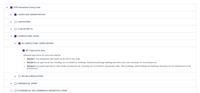
ICC Code Connect
By integrating with the ICC Code Connect API, staff can get instant access to your municipality's adopted building codes.
- Quickly reference the latest versions of your adopted ICC codes without leaving Cloudpermit
- Save valuable time by accessing the right code sections during inspections and reviews workflows
- Ensure clear, consistent enforcement decisions
- Eliminate manual code lookups
- Reduce the risk of referencing outdated requirements
- Give applicants, designers, and contractors quicker answers and greater transparency
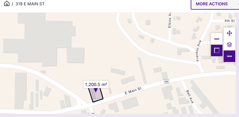
GIS Integrated Maps
- Access detailed property information including different layers like heritage areas
- Search permit locations on a map
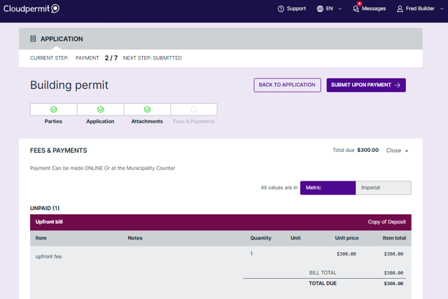
Payments
- Allow citizens to pay with a credit card
- Let citizens know when their payment is due
- Use an established escrow account to manage funds and pay for permits and applications
Get Set Up Quickly
- Work with a trained Implementation Specialist to learn how to use the software
- Modify lists and descriptions
- Access tutorials and support documents
API Integration
Easily integrate data and services from third-party systems with our API (Application Programming Interface).
- Download attachments in a workspace and update metadata or upload new versions
- Access all inspections data and get inspectors’ work lists
- Get attributes by property ID read from your local GIS
- Get bills and fee items for a workspace
- Query workspaces and request data by property or workspace ID
